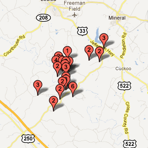
On Tuesday, August 23rd, 2011, at 1:51:04 PM EDT, an earthquake with a moment magnitude of 5.8 occurred about 7 miles southwest of Mineral, Virginia, which is near Lake Anna in Louisa County. The earthquake was widely felt, with felt reports received from people as far away as Detroit, Atlanta, Boston, Toronto, and Montreal.
Dozens of aftershocks up to magnitude 4.5 have been recorded, including a magnitude 4.2 aftershock approximately six hours after the mainshock and a magnitude 4.5 aftershock about a day and a half later. Small aftershocks are expected to continue for several days.
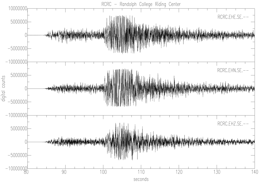
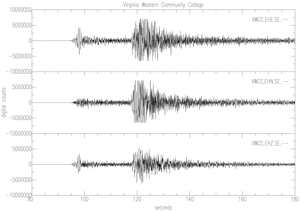
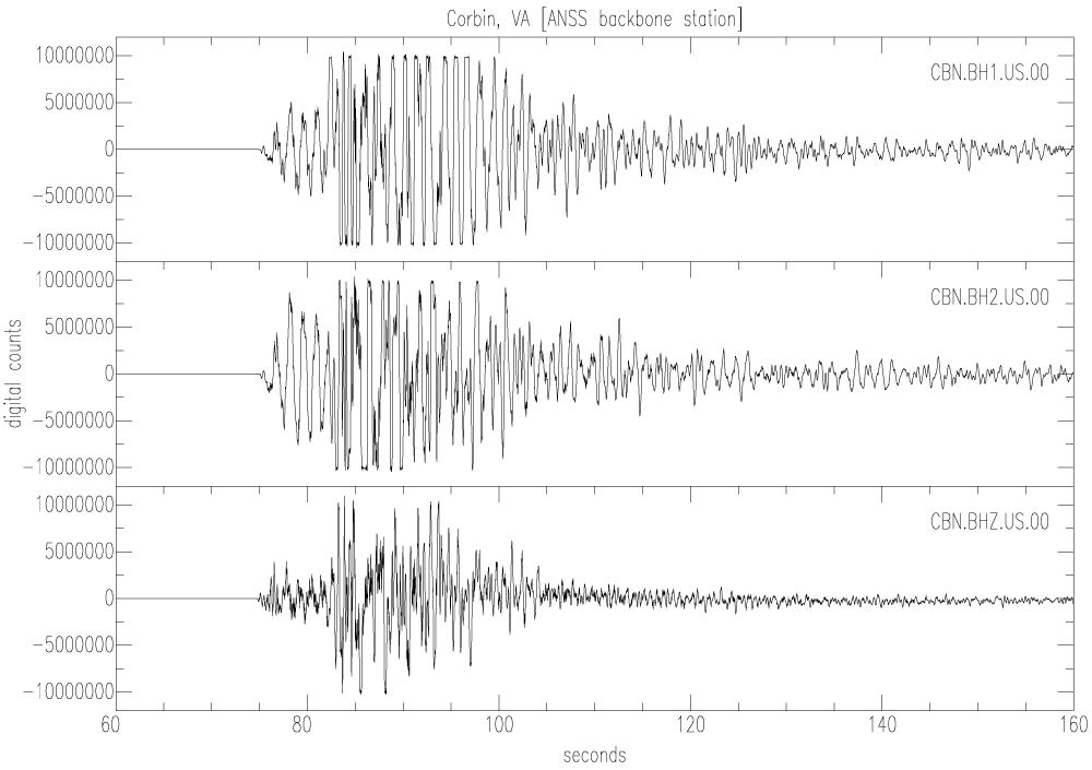
Because of the size of the earthquake, the earthquake was well recorded on seismograph stations in the Virginia Tech Seismological Observatory's seismograph network:
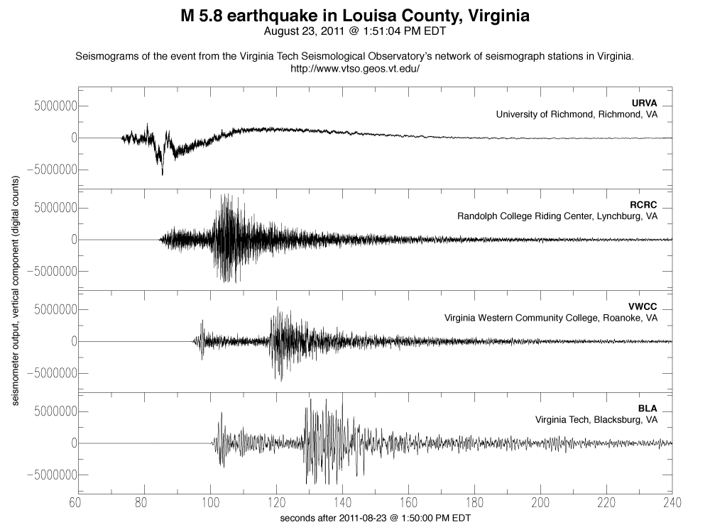
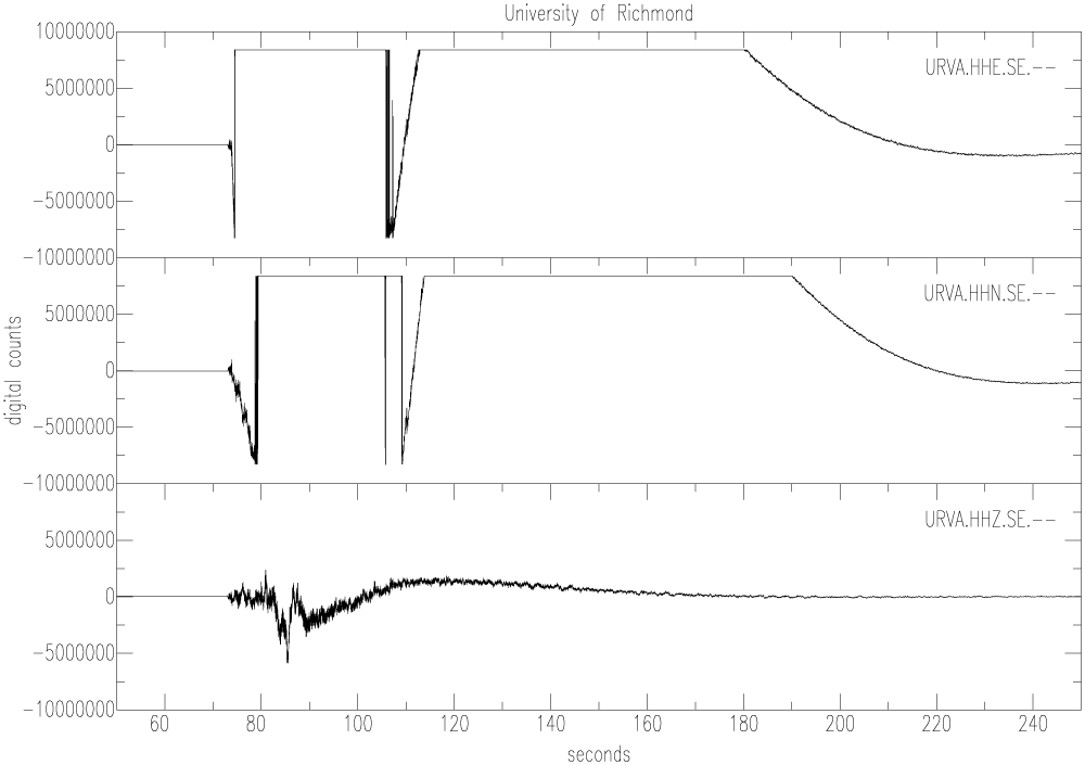
In the images above, you will notice that the seismograms from station URVA look much different than the other stations' seismograms. This is because URVA's seismometer went "off-scale" — the earthquake's shear wave caused more intense ground motion at the station's location in Richmond than the seismometer was designed for.